
Tourist Trails and Walks
Please find below information about various Trails and Walks within the Shire of Mount Magnet.
-
Tourist Trail
The Mount Magnet Tourist Trail is a 37 kilometre self-drive trail that takes in sights such as the Amphitheatre, Granites, caves and old mining settlements.
Please click here to download a copy of our Historic Tourist Drive or Cycle.
There are incredible displays of wildflowers (during the season), beautiful picnic places and spectacular rock formations.
Visit the Cemetery and imagine the hardship and suffering the pioneers of this beautiful country must have endured.
Finish up your day with a visit to the Museum (entry through the Visitor Centre) with an assortment of pastoral and mining memorabilia, or have a picnic and explore the beautiful Granites at sunset!
For more details on the Tourist Trail including a map please refer to our brochure or speak to our friendly Visitor Centre Officer.
-
Murchison GeoRegion Trail
The Murchison GeoRegion is a unique and picturesque region located in outback Western Australia. The self-drive trail will take tourists through a number of ancient sites and landmarks in the region.
Download the app from the Apple Store or Google Play.
Alternatively, pop into the Mount Magnet Visitor Centre and our friendly staff can assist you.
For further information on the region, explore the following websites:
Murchison GeoRegion
Australia’s Golden Outback
WA Parks Foundation -
Gascoyne Murchison Miners Pathway
The Gascoyne Murchison Miners Pathway is a self-drive tour throughout the historical mining regions of the Mid West and Gascoyne.
The pathway is approximately 970km in distance and travellers should allow a minimum of three days. The journey not only involves seeing historical sites within the old mining towns and disused mines but is also a great way to see the spectacular wildflower displays unique to this region.
Mount Magnet is situated at the crossroads of the Miners Pathway making it the perfect place for an overnight stay.
Highlights of the Pathway include- Jokers Tunnel, Big Bell Hotel, London Bridge and old gold mines. Miners Pathway is suitable for all vehicles, but it should be noted that the road from Meekatharra to Sandstone is not sealed and you are advised to check for road conditions.
Download a copy of the map: Miners Pathway Map
For further information on the region, explore:
-
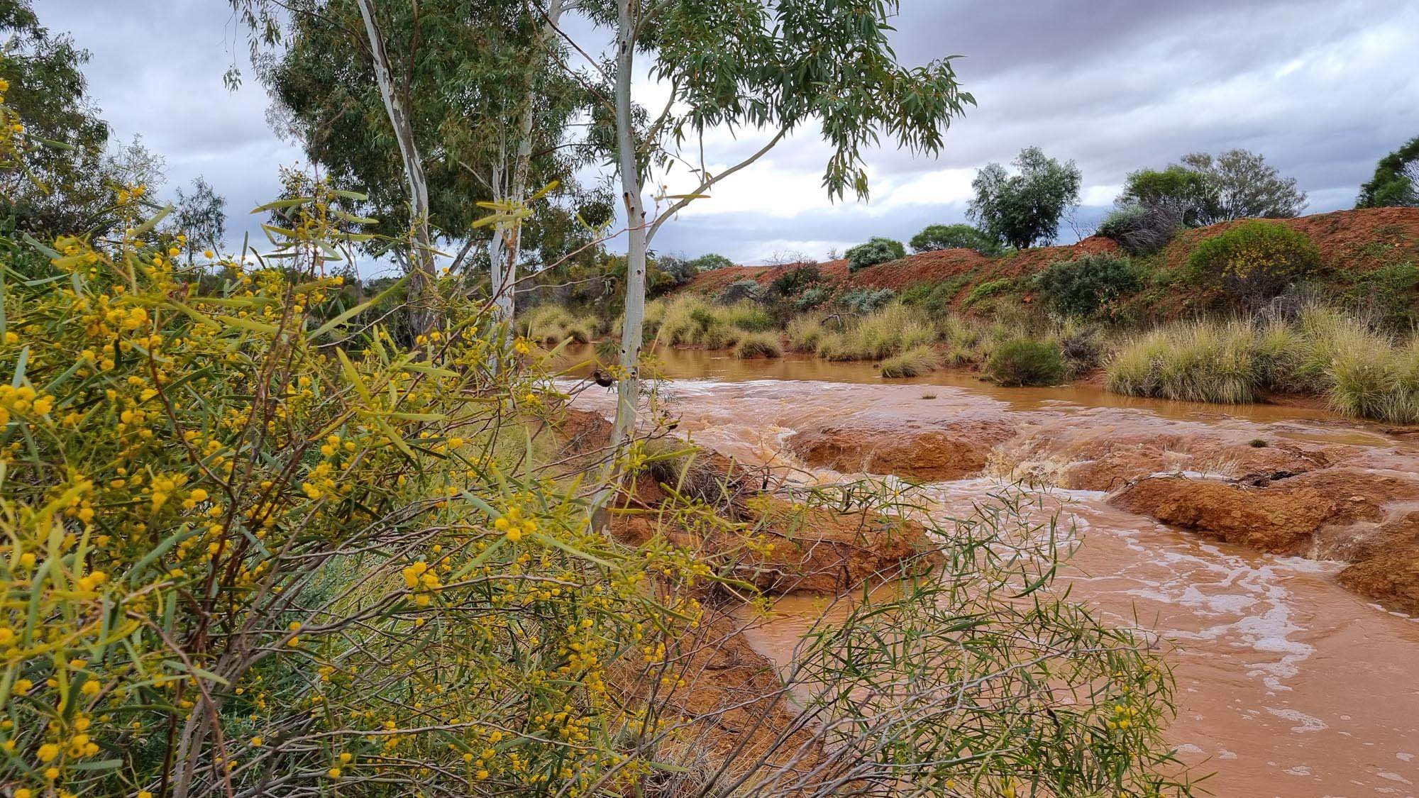
Wildflowers
During wildflower season (July to October) many spectacular wildflower displays can be seen in and around Mount Magnet.
However, the season is very much dependent on the amount of rain received. It doesn’t matter where you venture, you will be amazed at the beautiful colours and variety of flowers appearing as carpets throughout the bush.
An incredible experience you will always remember!
-
Lennonville
The Tourist Trail takes you through to the vacant mining town of Lennonville just north of the Mount Magnet townsite.
At the peak of the gold rush in the region, in the early 1900’s it is believed that the population of Lennonville reached 3000, making it the most important of the 3 townsites of Mount Magnet, Boogardie and Lennonville.
During this peak time, there were 5 hotels in the townsite. In 1909, after several years of slow decline, a huge fire swept through the main street of the town, provoking a general exodus from Lennonville.
Today you can visit the vacant townsite, and explore what was a thriving township less than 100 years ago. The old railway platform remains in Lennonville and has a great collection of relics from the old town left by fossickers.
A great place to explore and maybe add to the collection!
-
The Granites
The Granites are a popular picnic spot and are situated east of Mt Magnet on the right hand side 4 kilometres or so along the Cue road.
Paintings on the rocks at Walganna rocks have been dated at 9,000 years old, making them of a similar age to cave paintings in Europe. The caves formed in the soft granite have fantastically sculptured surfaces formed by the small curved quartz veins in the granite. Several families of the Barimaia tribe still live in the Mt Magnet area.
There is also a “Gnamma” hole in this area known to a few local people, this being a traditional native well covered by a stone. Their old carvings and paintings can be seen at several sites at The Granites.
For at least 20,000 years prior to settlement, the Aborigines considered the Mount Magnet region their home. The Granites is a place of strong cultural significance to the Badimia tribe. Their old carvings and paintings can be seen at several sites at The Granites. Paintings on the rocks at Walganna Rocks have been dated at 9,000 years old, making them of a similar age to cave paintings in Europe.
Ceremonial and burial sites are also located within The Granites area. Visitors and residents are asked to respect the cultural significance of the land and sites.
A beautiful place to explore and picnic, especially at sunset!
-
Ampitheatre
The Ampitheatre is part of the Murchison GeoRegion Trail. Located on the Boogardie-Lennonville (Tourist) road there is a very interesting rock formation known locally as the Amphitheatre.
For over eighty years it has been used as a local picnic spot. It is one of those magic places which sensitive people say brings them close to nature. It appears to be an ancient waterfall from an older land level, a laterite capped island in space.
It was always a great lovers’ trysting place and it has been whispered that a large percentage of Mount Magnet’s population originated from there.
-
Heritage Walk
The Heritage Walk is a leisurely stroll through town offering visitors a small part of the history of Mount Magnet.
The walk down the main street still gives a feeling of days gone by, with its wide road and old shop fronts.
Just around the corner see the Old School Masters House and Old School, now renovated and housing the Rural Transaction Centre.
The first Police Station has been destroyed by fire but the Station Masters House, Original Bank of Western Australia and Old Post Office and Residence, plus other sights are included on the Heritage Walk.
For a detailed map and guide for the walk click here or visit the Tourist Centre or Shire Office.